Skip to main content
E-mail
:
training@kartoza.com
Log in
Home
Home
More
Learn more about all our courses. Click the button below to explore the full catalogue.
Book now
Kartoza GIS Academy
PROMOTED COURSES
Introduction to GIS with QGIS | Self-paced | 2026 |(EN)
Introduction to PostGIS | GeoData Design (EN) | Self-Paced | 2026
GIS Fundamentals for Educators | Online | October 2026 (EN)
Introduction to Enterprise GIS with FOSS | (EN)
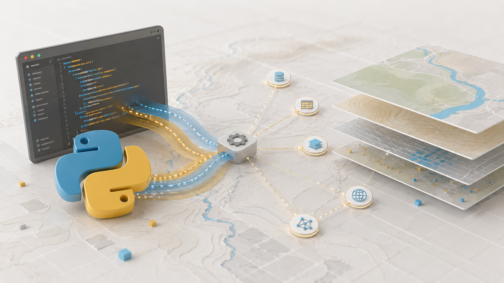
Introduction to Python in GIS | (EN) - 2026
Search courses
Search courses
Skip course categories
Course categories
Expand all
01 Foundations (FND)
(2)
02 GIS & Cartography (GIS)
(1)
03 Earth Observation & Remote Sensing (EO/RS)
04 Field Data Capture & Mobile GIS (FLD)
05 SDI, Web GIS & Open Standards (SDI/OGC)
View more