
A three hour practical workshop on mobile field data collection using MerginMaps and QGIS, run for the GISSA Western Cape AGM on Tuesday 1 December 2026 at Durbanville Golf Club.
You capture real data on the grounds, watch it sync into one shared map and see how to set the same workflow up at work. Everything runs on a phone or tablet. A laptop with QGIS is optional.
Before you come, work through Before the workshop. It takes about twenty minutes and it has to be done in advance.
- Teacher: Seabilwe Tilodi
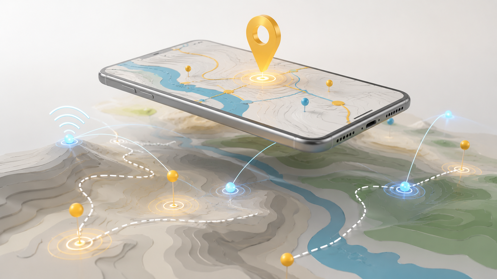
Learn to collect real geographic data in the field using free, open-source tools.
This course takes you from the basics of field mapping through to producing a finished, print ready map. You'll set up QGIS on your computer, create a data collection form on your phone, go outdoors and capture real spatial data using GPS, then sync it back to your desktop and turn it into a map you can share.
No prior GIS experience is needed beyond basic computer skills and a little familiarity with QGIS. All software used is completely free, so there's nothing to buy.
What you'll learn
- What field mapping is and how it's used in planning, monitoring, and research
- How to install and connect QGIS, the Mergin Maps app, and the cloud service
- How to design a custom data collection form for your survey
- How to capture accurate GPS features in the field, including offline
- How to synchronise data between your phone, the cloud, and QGIS
- How to style your data and export a professional map
Who it's for
Government and corporate officials, community fieldworkers, and geography and science teachers. It suits anyone who needs to record what's on the ground and turn it into usable spatial data.
How it works
Fully self-paced and online. There are no scheduled sessions and no deadlines, so you work through the six modules in your own time and revisit anything as often as you require. Each module includes step by step instructions, a knowledge check quiz, and practical exercises. A Communication Hub is available throughout if you have questions.
Expect to spend between 6 and 18 hours in total, depending on your pace and how much fieldwork you do.
What you'll need
A computer running Windows, macOS, or Linux, plus a smartphone or tablet. An internet connection is needed for setup and syncing, but not while you're collecting data in the field.
On completion
You'll submit your field survey map and receive a certificate of completion.
- Teacher: Seabilwe Tilodi