
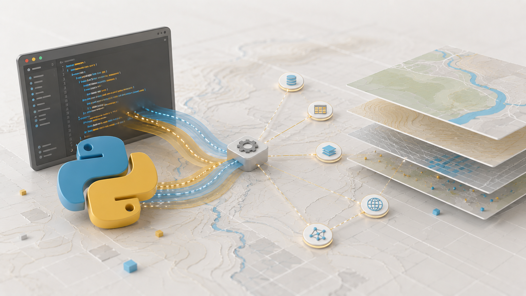
Learn the Python basics you need to automate and extend your GIS work.
Format: Self-paced, online, with technical support from a tutor
Certificate: Kartoza GIS Academy certificate of completion
Availability: Not yet available.
Level, duration and purchase link to follow.